WELCOME
We are geospatial cloud service experts
Through our innovative and secure cloud platforms, we empower UK Local Government and businesses to use the power of geospatial to solve problems and improve efficiency
About Us
We’re a dedicated team of geospatial and cloud IT specialists who want to see society empowered to use the power that maps and geodata can give, without having to deep-dive into the world of GIS.
Our Team
We are a fully remote team of ten geospatial specialists, developers and local government experts distributed across England – from Somerset to Surrey to Derbyshire.
Remote working has been core to how we operate since before it became common practice, and it means our team reflects the geography of the councils we serve.
Our Products
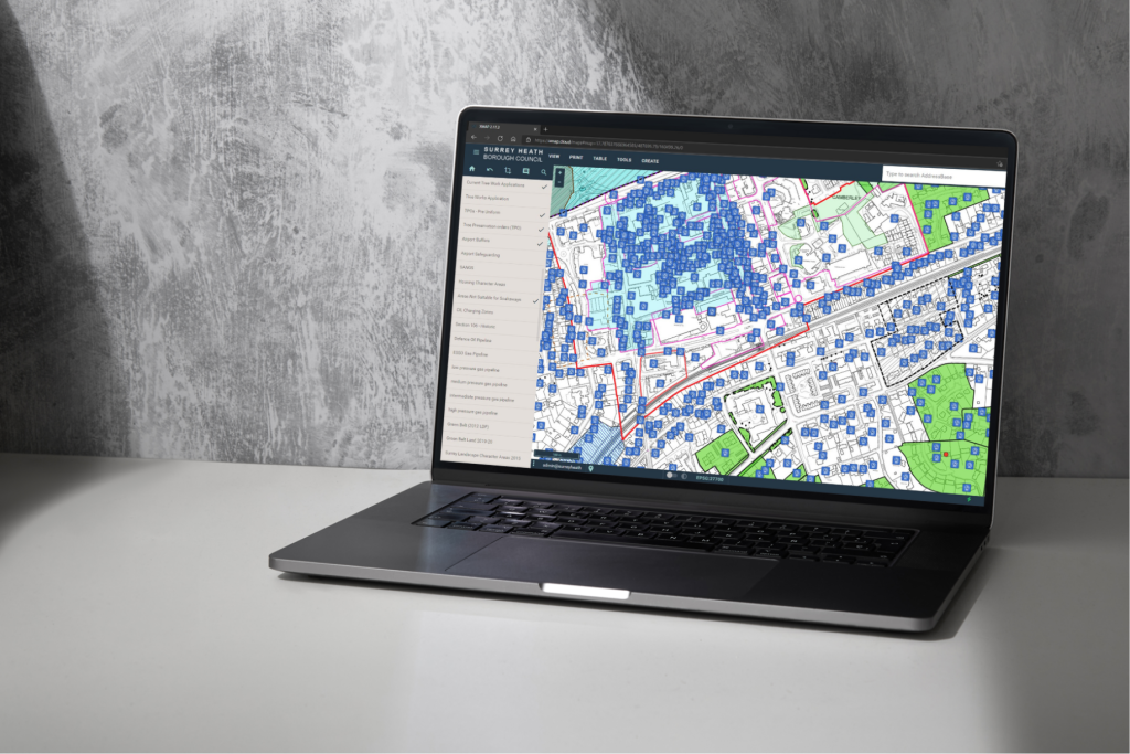
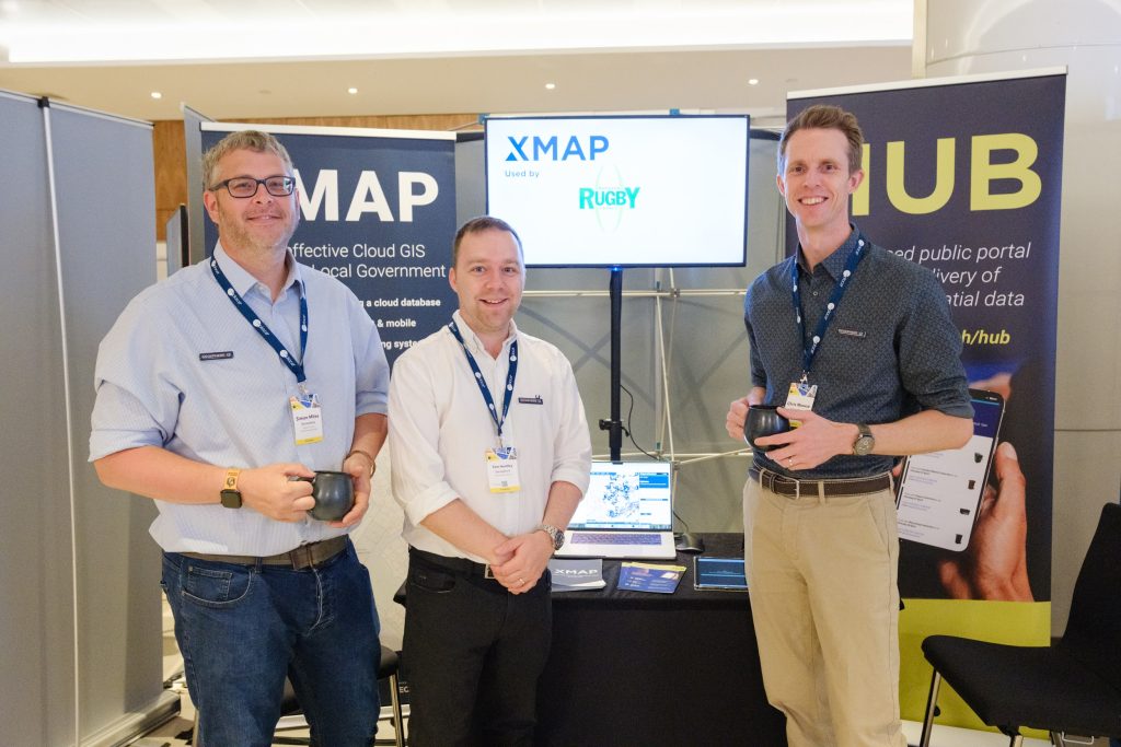
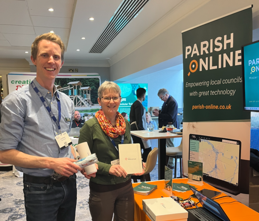
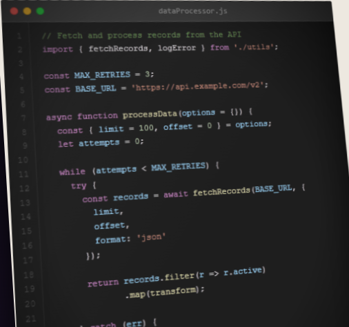
Our flagship product is our Cloud GIS platform. This is branded “XMAP” for our Government and Business customers, and “Parish Online” for our Town, Parish and Community Council customers.
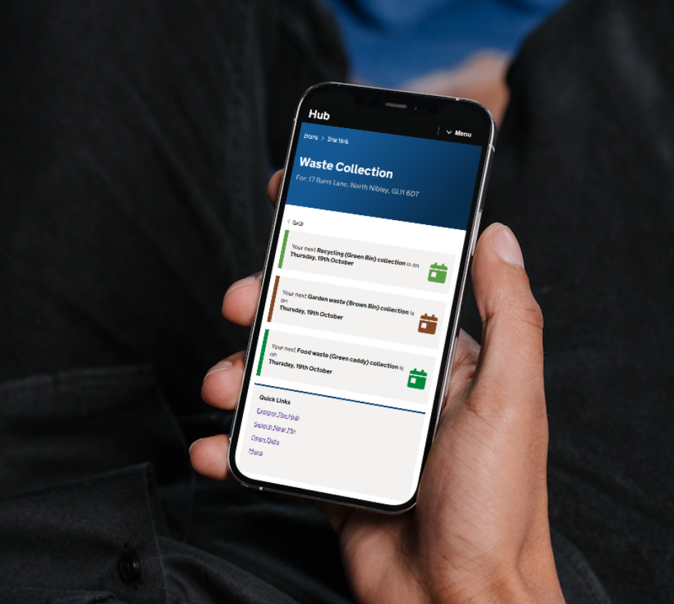
Our product suite extends to WMTS/WFS data feeds, APIs, public facing maps and portals, website and email services, domain management and bespoke geospatial applications.
Our Social Value
We have a sister company, Local Authority Technology Community Interest Company (CIC), our not-for-profit social enterprise. It’s the home for our public-sector focused services
Local Authority Technology CIC allows us to ring-fence services to ensure they are available for the long-term, creating stability and growth in the sector.
Our Resilience
We have over 18 years of experience in providing cloud-based services with high availability and functionality so can be trusted to provide enterprise-level systems in mission-critical environments.
With Cyber Essentials accreditation and rigorous security protocols, we ensure everything from a simple parish council map, all the way up to a business-critical application is resilience, fast and secure.

Our Partners
We are fortunate to have built up a strong selection of trusted partners and suppliers to ensure we can provide best-in-class cloud services. Our partners include: Ordnance Survey, Bluesky, Nominet, ODCGIS, Zaltek Digital and others.
Our Support
With the advent of AI and the ability for anyone to quickly create an application, it’s become even more important to choose a company that you can trust for provide fast, efficient and competent report that’s built on foundational knowledge of a subject.
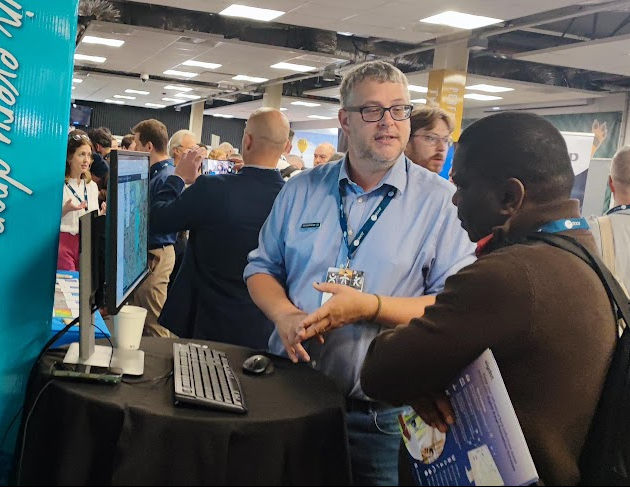
We’re proud of our track-record of putting the customer first, providing thought-leadership and helping our customers solve their business problems.
Latest News
-

NASA fire detection data now available in Parish Online and XMAP
NASA’s near real-time fire detection data is now available in Parish Online and XMAP. As wildfires continue to affect communities across Europe, we look at how this data supports local council situational awareness and planning.
-
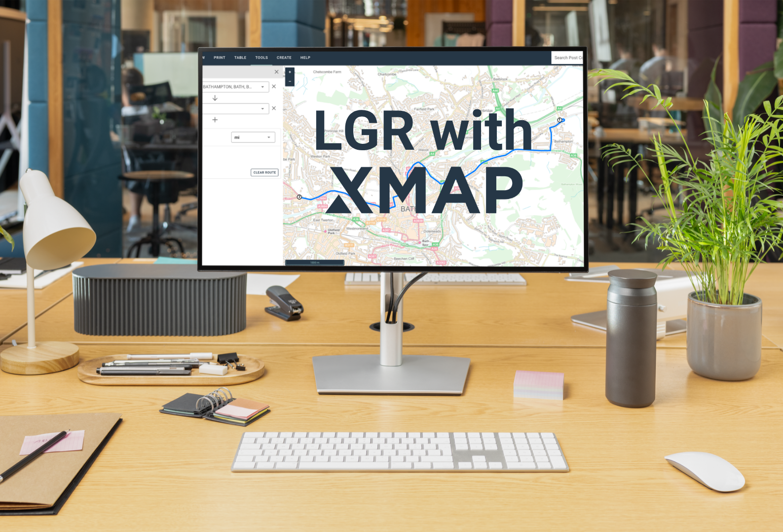
One council, one map: why XMAP fits for LGR
On the 16th July, the government announced local government reorganisation decisions for a further 14 areas. We’re offering to help, providing a completely free XMAP licence for shadow councils to make those cost-savings a reality.